Nature & History Boat Tour
July 21
Boat Tours daily. Call for availability as it may change: 706-823-0440 x 502.
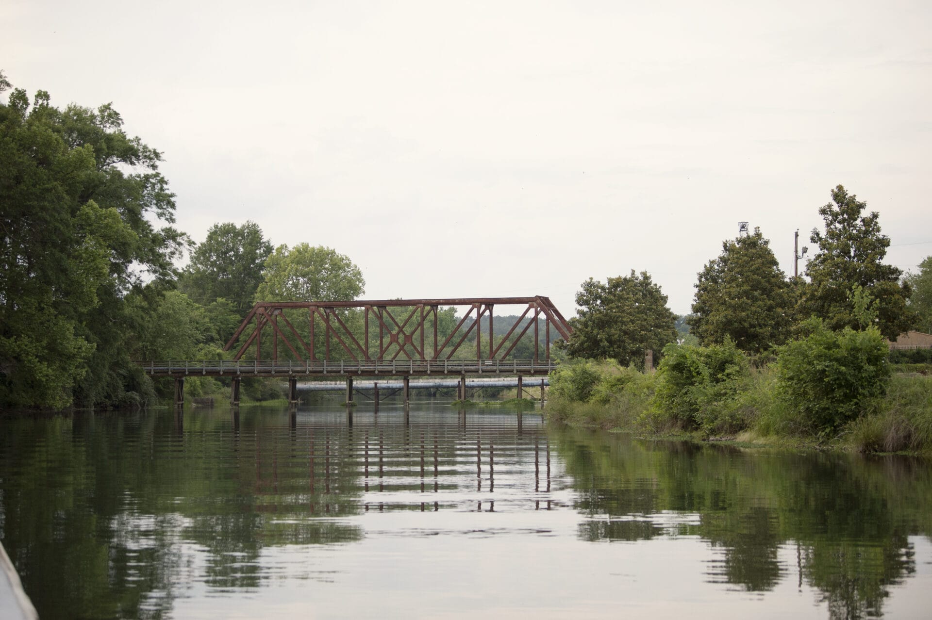
The Augusta Canal, built in 1845 as a source of power, water and transportation, is the only intact industrial canal in the American South in continuous use. During the Civil War, it was the site of the Confederate States of America Powder Works complex. Deepened and widened in the 1870s, the canal brought an industrial boom to the city, especially in textile manufacturing. The Canal and its mills were listed on the National Register of Historic Places in 1975 and declared a National Historic Landmark in 1978. The United States Congress designated the Augusta Canal and nearby land a National Heritage Area in 1996. Several canal-side structures pre-date the Civil War and others to the later 19th Century and the heyday of America’s Industrial Revolution.

The Augusta Canal takes advantage of the drop in elevation between the Piedmont plateau and Coastal plain known as the Fall Line. The Canal was built in three levels, beginning at the Headgates at Columbia County’s Savannah Rapids Park. This first level reaches 7 miles, running roughly parallel to the Savannah River and terminating at gates at 13th Street near Walton Way, just north of the University Hospital main campus. The towpath, a trail that runs along the north side, is limited to pedestrians/cyclists.
The Canal’s second and third levels wind through downtown Augusta and are less visible and accessible than the first level. The second level branches from 13th Street toward the northeast, where it intersects with the third level near 11th and Telfair Streets, adjacent to Davidson Fine Arts Magnet School. From there, the third level flows in two directions: northwest toward Hawks Gully at 15th Street where the water re-enters the Savannah River, and southeast, where it flows into Beaver Dam Creek.
Although the Augusta Canal is man-made, many areas along its banks have returned to a more natural state. The Canal occupies a unique Fall Line ecosystem created along the granite ledges that separate the Piedmont plateau from the Coastal plain. The undeveloped land between the Canal and the Savannah River rapids along the upper First Level has formed a wetland, creating an urban wildlife refuge that is home to varied flora and fauna, including several rare and endangered species. The Canal also is a major source of Augusta’s drinking water.
